PROJECT BACKGROUND
Context
In the UNESCO Penang Hill Biosphere Reserve, Make Water OK’s project was initiated to address critical environmental challenges. The main beneficiaries, including the Penang Hill Biosphere Reserve Office, the Penang Water Supply Corporation (PBAPP), and the PHBR Landslide Rehabilitation Team, faced frequent landslides and water scarcity issues. The project aimed to provide clear data for effective landslide risk management and to furnish enough actionable information to manage the water resources efficiently, thereby mitigating the region’s environmental concerns.
Project Location
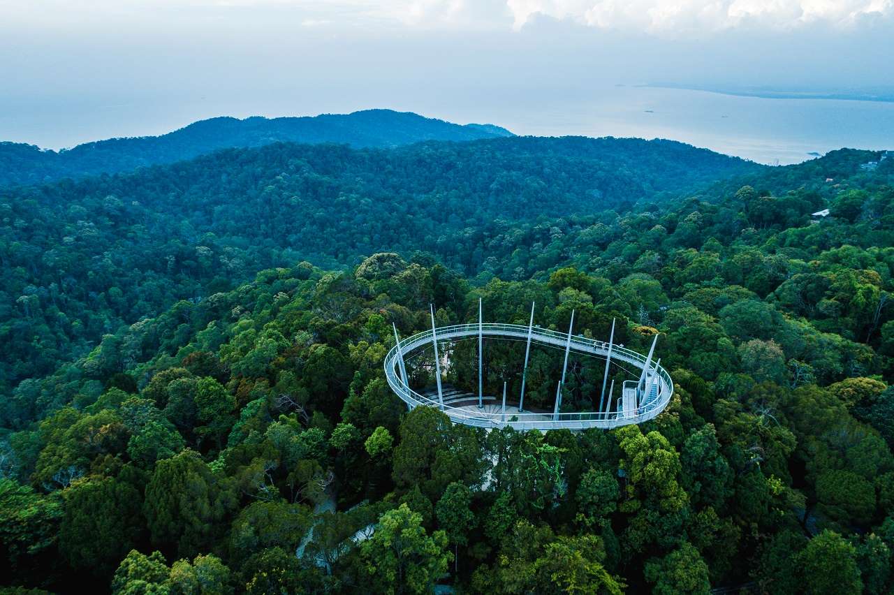
Penang Hill Biosphere Reserve, Malaysia
Image source: The Habitat Penang Hill
Main Beneficiaries
- Penang Hill Biosphere Reserve Office
- Penang Water Supply Corporation (PBAPP)
- PHBR Landslide Rehabilitation Team
Problem Statement
The project confronts the challenges of recurrent landslides and water scarcity on Penang Hill by enhancing data clarity for landslide risk management and providing ample actionable information to optimize water resource management.
PROJECT IMPLEMENTATION
Objectives
- Provide detailed and solid information about the site’s safety for the landslide rehabilitation team.
- Produce informative visualizations using the water usage data from Penang Hill.
- Create a useful data platform that supports structured data for landslide hazard assessment and water usage data.
Project Approach and Methods
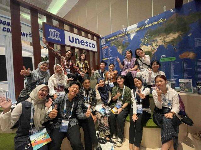
A collaborative team from the Asia Pacific University of Technology and Innovation (APU) and Universiti Malaysia Terengganu (UMT) combined their expertise in Artificial Intelligence (AI) and Marine Biology to develop a groundbreaking solution. They were mentored by APU’s Dr. Vazeerudeen and Dr. Muhammad Ehsan Rana, who provided specialized AI guidance, enhancing the project’s robustness and innovation. The team’s success was further supported by UMT’s Marine Biology professors, and it gained financial and developmental support from the Ocean Hope organization, ensuring precision and effectiveness in addressing key issues at the UNESCO site.
The proposal suggests implementing HydroDataHub, a comprehensive web application, to enable the Penang Hill authorities to perform efficient landslide risk assessments and manage water resources effectively. This platform comprises two main components: the Landslide Risk Assessment System and the Smart Water Meter System, both designed to enhance environmental management capabilities.
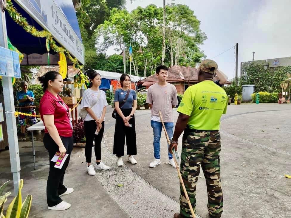
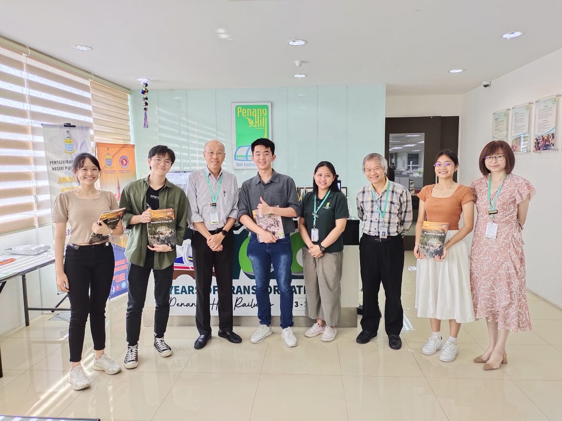
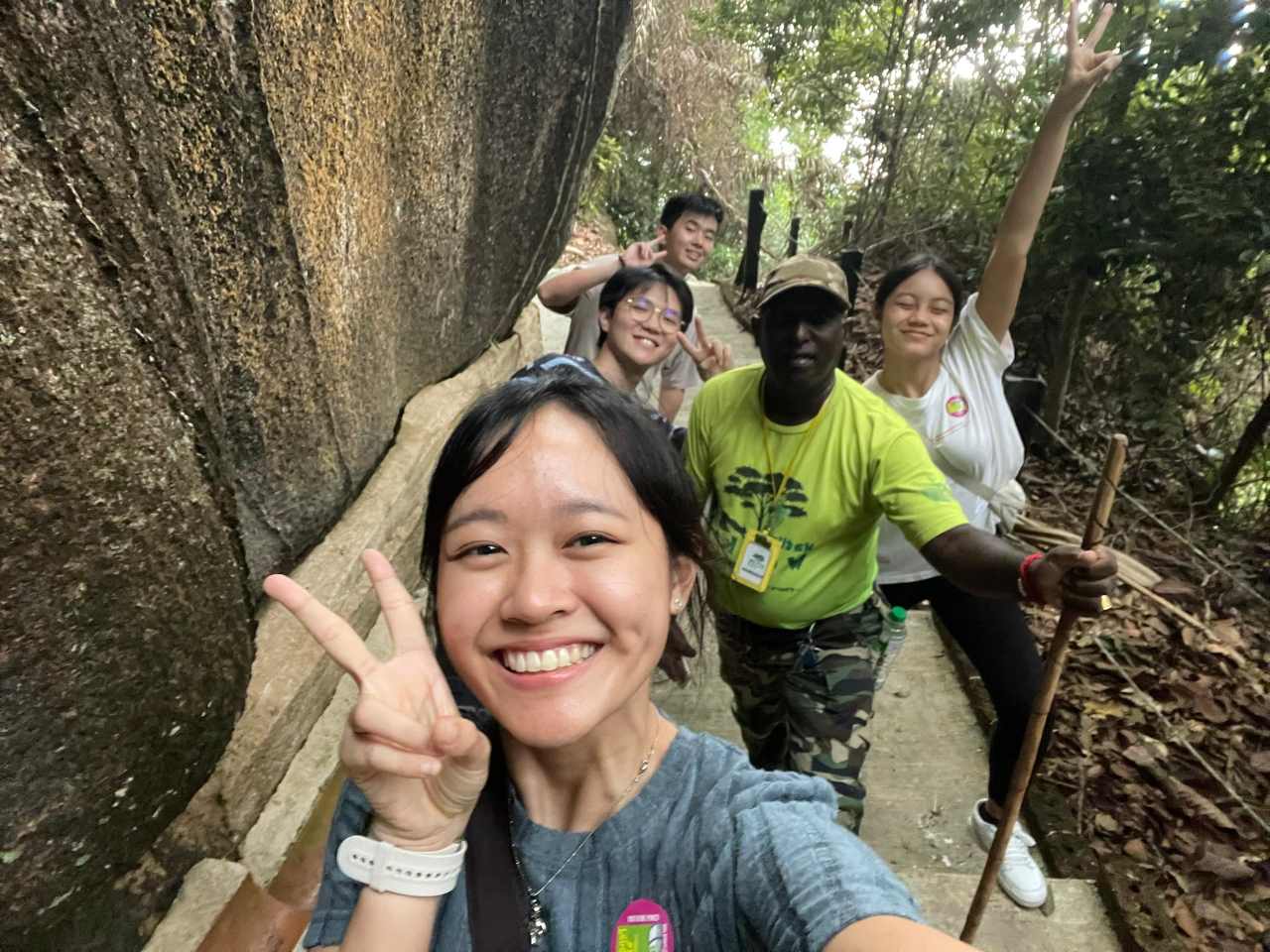
The team initiated contact with Dr. Abe Woo Sau Pinn from Universiti Sains Malaysia for guidance on their solution at the outset of the UNESCO Water Resilience Challenge 2023. By a fortunate coincidence, Dr. Woo was acquainted with Dr. Yang Kok Lee, the senior project officer at the Penang Hill Biosphere Office, and facilitated an introduction. This connection enabled the team to engage with the primary stakeholders, PHBR. Throughout the challenge, they maintained extensive communication with Dr. Yang, who provided invaluable assistance, coordinated activities with other stakeholders, including the PHBR landslide rehabilitation team, and organized a site visit. The stakeholder engagement proved to be highly successful, yielding significant information that informed the refinement of the application and enhanced the team’s understanding of the habitat at the designated site.
Project Results and Outcomes
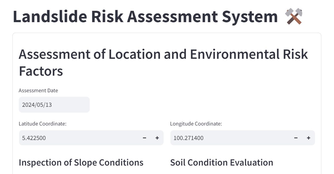
1. Landslide Risk Assessment System
This system addresses the frequent landslide issues on Penang Hill by implementing advanced fuzzy logic algorithms. These algorithms convert raw data collected during field inspections into actionable insights, thereby enhancing the decision-making process. Traditionally, risk assessments were conducted manually, with inspectors recording terrain details and slope conditions on paper, followed by submitting these records to another department for analysis. This process was not only time-consuming but also susceptible to errors such as document loss and miscommunication. With HydroDataHub, the entire process is digitized and optimized:
- Data Collection: Authorities can now enter risk parameters directly into the application using their mobile devices during site visits.
- Automated Risk Calculation: The system automatically calculates risks and integrates these with a Geographic Information System (GIS).
- Instant Accessibility and Mapping: The risk assessment results are immediately mapped and made accessible to other relevant departments. This integration enhances operational efficiency, reduces the potential for errors, and speeds up response times.
2. Smart Water Meter System
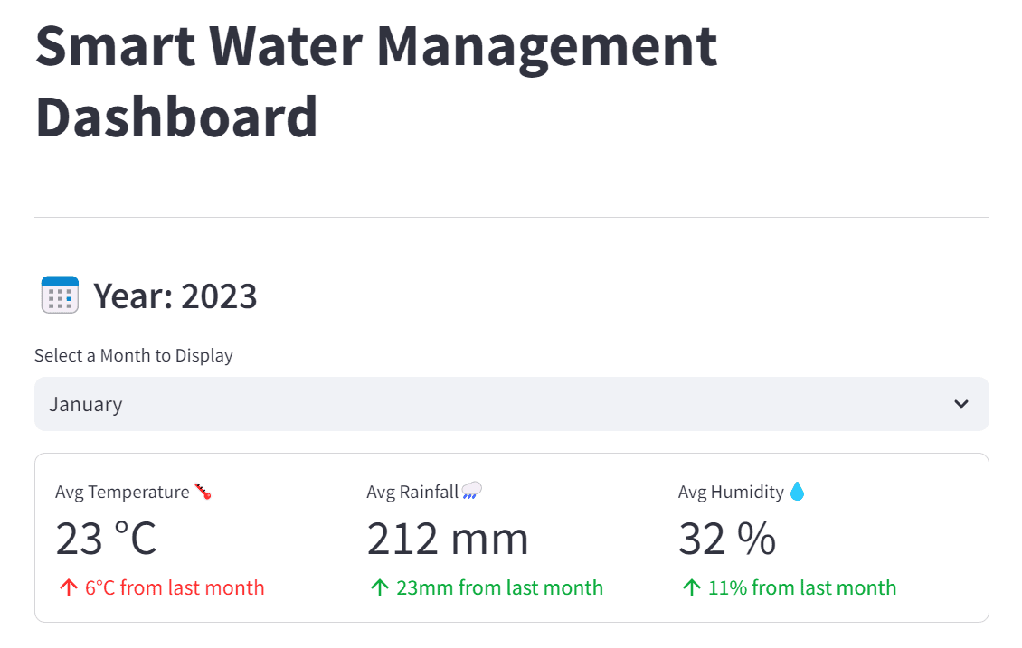
The Smart Water Meter System is designed to overcome challenges related to the management of water resources. It utilizes advanced data analytics to transform raw water usage data into intuitive and easy-to-understand graphical representations. These visualizations provide a comprehensive overview of water resource distribution and usage across Penang Hill, which supports the following:
- Data-Driven Decision Making: Authorities have access to real-time data visualizations that help them make informed decisions about water management.
- Resource Management Efficiency: By providing a clear view of water usage patterns and resource distribution, the system ensures that water resources are managed more effectively, preventing wastage and optimizing distribution.
PROJECT PARTNERS
ABOUT MAKE WATER OK
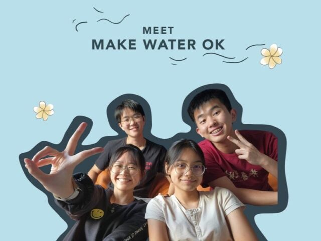
A group of young, motivated Malaysians that make the team “Make Water OK” is set to redefine disaster risk management and water conservation through the power of digital innovation. This ambitious team, with expertise in artificial intelligence and marine biology, has a shared passion for technology and environmental sustainability has driven them to develop a solution that not only addresses local issues but also has the potential for global impact. The fusion of AI with marine biology insights allows them to tackle complex environmental challenges in innovative ways.
